
Drone Restriction Zones in Norway: Rules and Permissions (2026)
Where you cannot fly a drone in Norway – the 5 km airport rule, prisons, nature reserves, R-102 over Oslo, built-up areas, kindergartens, and drone privacy rules.
Norwegian airspace is not a free-for-all — these are the zones you need to know
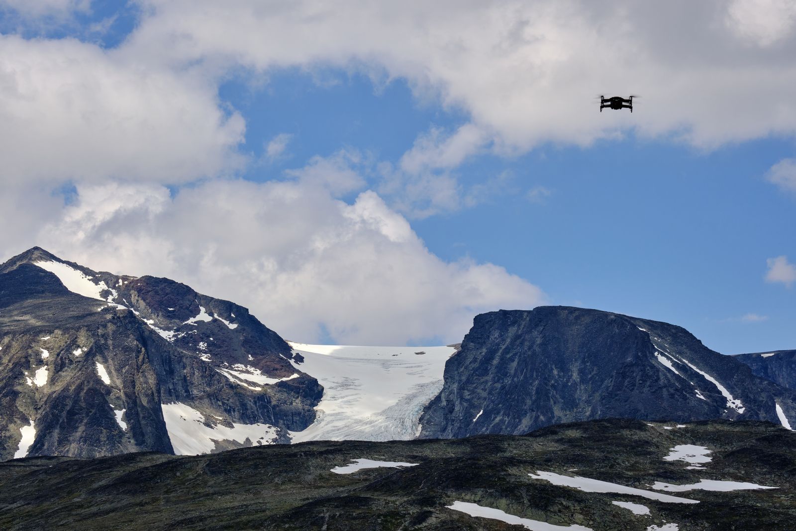 Jotunheimen: a dream shot for drone pilots — and a national park with rules of its own. Photo: Barnabas Davoti / Pexels
You have found the shot. The light is perfect, the wind is calm, the battery is fully charged. Then the doubt creeps in: am I actually allowed to fly here?
That is the right question to ask. Flying a drone in Norway is legal in most places, but not everywhere. Around airports, over central Oslo, near prisons and military installations, and in many nature reserves, dedicated zones with their own rules apply. Some require permission, while others are closed to drones entirely. Break the rules and the Civil Aviation Authority of Norway (Luftfartstilsynet) can issue fines — serious cases end up with the police.
This guide gives you the overview: which zones exist, which rules apply in each of them, and how to check the map before you fly. We also cover the questions many pilots ask but rarely find answers to: what actually applies over residential areas, schoolyards, and kindergartens?
The regulations behind the zones, briefly
Norwegian drone rules build on the common EU framework: Regulation (EU) 2019/947 on drone operations and (EU) 2019/945 on product requirements, which apply in Norway through the EEA Agreement. On top of that sits a national regulation, the Regulation on Unmanned Aircraft (BSL A 7-2), in force since 1 November 2024, replacing the 2020 regulation.
Section 7 (§ 7) of this regulation sets the two most important zone rules: the ban on flying near airports without permission, and the ban on flying over military areas, embassies, and prisons. Permanent restriction areas, such as R-102 over Oslo, are established in separate regulations.
Airports: the 5 km rule
You cannot fly a drone closer than 5 km from an airport without permission from the local air traffic service unit (the tower or AFIS unit). The rule is set out in BSL A 7-2 § 7, and Avinor describes the zone as 5 km in a straight line around all Norwegian airports.
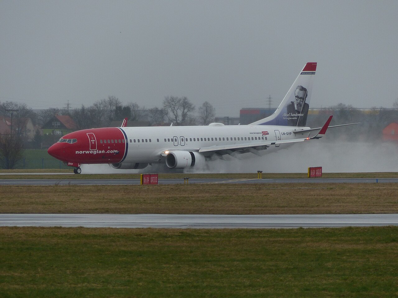 Within 5 km of an airport, this is what you share the airspace with. Photo: Petr Kohutič / Wikimedia Commons (CC0)
This is not an absolute ban. With permission from the air traffic service you can fly inside the zone, and at several Avinor airports you apply digitally through the Ninox Drone app. Avidrone, Avinor's planned replacement for Ninox Drone, has been put on hold, so Ninox Drone remains the current solution.
Avinor's drone map shows the 5 km zones around each airport. The restriction map in UAV-Planner shows Avinor's CTR/TIZ zones alongside the other zone layers. Note that a control zone (CTR) can extend further than 5 km from the airport, so check both zones before flying near an airport.
Note: Luftfartstilsynet has proposed replacing the 5 km rule at controlled airports with a permission requirement covering the entire control zone. The proposal has not been adopted yet — more on that below.
Military areas, embassies, and prisons
BSL A 7-2 § 7 is clear: it is not permitted to fly an unmanned aircraft over or near military areas and vessels, embassies, or prisons without permission from the local head of the facility ("stedlig leder").
If you need to fly near such a facility, you need permission from the person in charge of the site, not just from the aviation authorities. In practice, these areas are closed to ordinary drone flying.
Other no-fly areas
Luftfartstilsynet also points to several other areas where drone flying is prohibited:
- Nature reserves and national parks. The ban follows from the conservation regulation (verneforskrift) for each individual area, and not all protected areas have drone rules. Always check the specific area before flying. Some have access bans, others landing bans or flight bans below 300 m.
- Gas terminals and oil platforms.
- Areas with ongoing emergency-service operations, such as accident sites, fires, and search-and-rescue missions.
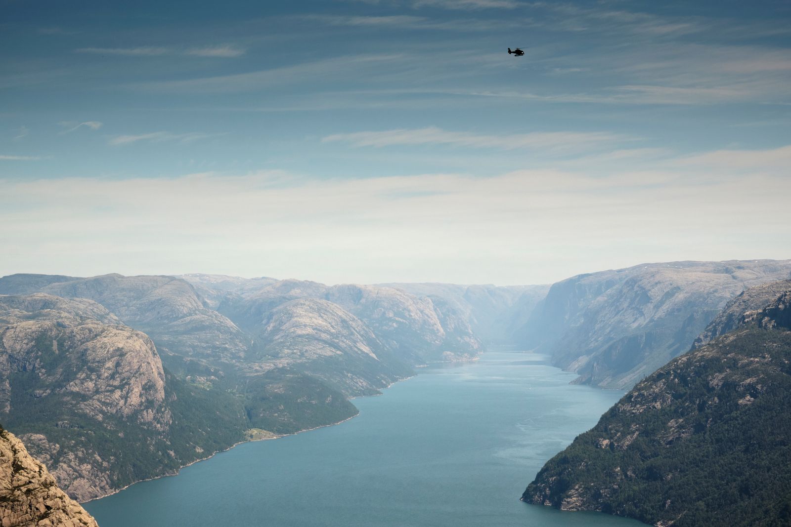 Many of Norway's most photogenic areas are protected. Check the conservation regulation before flying. Photo: Barnabas Davoti / Pexels
In addition there are sensor restriction zones, areas with separate rules for the use of cameras and other sensors. These appear as a separate layer in the UAV-Planner restriction map, sourced from the Norwegian National Security Authority (NSM).
Central Oslo: restriction area R-102
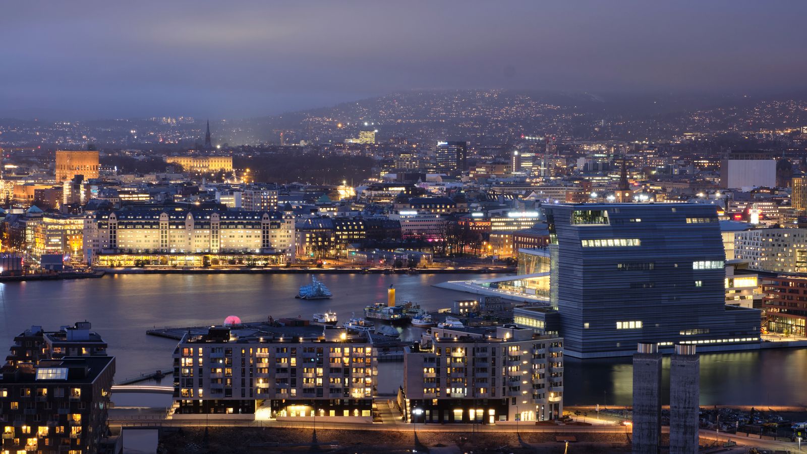 Central Oslo sits inside restriction area EN R102 — you need a dispensation to fly here. Photo: Barnabas Davoti / Pexels
A permanent restriction area, EN R102 (commonly written R-102), covers central Oslo. It was established by a dedicated regulation in 2007. Formally it covers a circle with a radius of 1 nautical mile (about 1.85 km) around a point in the city center, from the surface up to 3,000 ft AMSL.
To fly a drone inside R-102 you must apply to Luftfartstilsynet for a dispensation in advance (form NF-1129 via Altinn). Expect around two weeks of processing time and a fee. Police, ambulance services, the Armed Forces, and search and rescue are exempt.
Temporary restriction zones
The authorities can also establish temporary restriction zones. They are set out in separate regulations and announced through NOTAMs, among other channels.
These zones are easy to miss if you last checked the map a week ago. Make the zone check a fixed part of your routine before every flight, on the day you fly.
Built-up areas: not a zone on the map, but strict distance rules
Many pilots assume cities and residential neighborhoods are marked no-fly zones. As a rule, they are not. Built-up areas are not a zone type of their own — what governs flying over houses and people are the distance requirements of the open category:
- With C1 drones and drones over 250 g you must not fly over other people. The smallest drones (C0-marked or under 250 g) may fly with few distance limitations, but never over assemblies of people.
- In subcategory A2 (C2 drones), keep 30 m horizontal distance from uninvolved persons, 5 m in slow-speed mode, and follow the 1:1 rule: the horizontal distance must be at least equal to the altitude you fly at.
- In subcategory A3, keep at least 150 m from residential, commercial, industrial, and recreational areas, and only fly where no uninvolved persons are present.
- Events with large crowds — concerts, festivals, sports events — are never allowed to be overflown.
In practice, an ordinary residential street requires the right drone, the appropriate qualification, and a healthy margin to the neighbors. And in Oslo, the city center is additionally a zone of its own (R-102, see above). Unsure about the categories? See our guide to getting started with drone flying in Norway.
Kindergartens, schools, and playgrounds
This surprises many pilots: kindergartens and schools are not designated no-fly zones. They are not in the regulation, and they do not show up as zones on any drone map.
That does not mean the schoolyard at recess is fair game. Two sets of rules make such flying very hard to do legally:
- The distance rules. A schoolyard or kindergarten in use is full of uninvolved people, and with C1 drones and drones over 250 g you must not fly over other people at all.
- Privacy. Children cannot give valid consent themselves. If you want to publish images where children can be recognized, parents or guardians must consent on their behalf, according to Datatilsynet (the Norwegian Data Protection Authority, page in Norwegian).
If you are photographing a school or kindergarten on assignment, do it outside opening hours and agree on it with the institution in advance. Schools and kindergartens are themselves responsible for images taken on their behalf and must obtain parental consent first.
Privacy: the camera has rules of its own
The zone map tells you where you can fly. Privacy law decides what you can film. Both are the pilot's responsibility.
Datatilsynet (page in Norwegian) is clear that the Norwegian Personal Data Act has no drone-specific provisions. The ordinary rules apply, and in practice that means:
- Do not film or photograph people in their homes or gardens without permission, even if you are flying legally.
- If you publish images or footage where people can be recognized, the main rule is to ask them first.
- If you fly for a business, recognizable people in your footage are personal data. You then need a legal basis, you must collect as little as possible, and you have a duty to inform those affected.
- You do not need approval from Datatilsynet to fly a drone with a camera.
Datatilsynet also publishes a checklist for drone operators — six points from clarifying responsibilities to deletion routines. It is worth ten minutes before your first commercial assignment.
The rule of thumb is the same as in our getting-started guide: record what you need, not what is possible.
What do you risk if you break the rules?
Luftfartstilsynet supervises drone flying and can impose administrative fines (overtredelsesgebyr), coercive fines (tvangsmulkt), or revocation of certificates and operator permits. Serious cases can be reported to the police.
This is not just theory. In 2024 a private pilot was fined NOK 2,000 for flying unregistered, and an operator has been fined NOK 30,000. Remember that almost everyone flying a drone in Norway must be registered as an operator on flydrone.no.
The most serious cases end up in court. Under section 14-29a of the Norwegian Aviation Act (in Norwegian), drone flying that disturbs the safe operation of aircraft or airports, or otherwise endangers life, body, property, or the environment, is punishable by fines or up to two years' imprisonment. Enforcement is also being stepped up: in 2026 the police are establishing a national competence center against illegal drone flying (in Norwegian) at Taraldrud.
How to check the zones before you fly
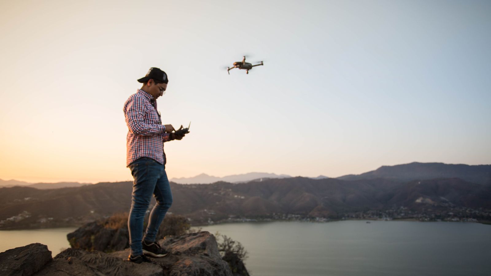 Two minutes of map checking before takeoff saves you both fines and regrets. Photo: Enrique Aguilar Hernandez / Pexels
The restriction map in UAV-Planner gathers the zones from several official sources into one layered map:
- Drone no-fly zones (droneforbudssoner) from Luftfartstilsynet (CAA Norway)
- CTR/TIZ zones (Avinor)
- Restriction zones (Avinor IPPC)
- Sensor restriction zones (NSM)
- Nature protection areas with access bans, landing bans, and flight bans below 300 m
The zones are color-coded by severity, from no-fly (red) through restricted and warning to purely informational, so you can quickly see which rules apply where you plan to fly.
UAV-Planner's free drone zone map for Norway shows the CAA restriction zones, NSM sensor bans, nature reserves, CTR/TIZ zones, and built-up areas in one map, no login required.
Droneflykart is a free service showing drone zones in Norway — a good option when you just need a quick look at the map without logging in.
Official sources: Avinor's drone map shows the 5 km zones around airports, Ninox Drone is used to apply for permission, and Luftfartstilsynet maintains the overview of rules and applications. flydrone.no is the portal for registration and competency certificates.
Whichever map you use: zones can change at short notice, and it is the pilot's responsibility to verify that the information is correct. Check NOTAMs and official sources when in doubt.
How the zone rules may change
The 5 km rule may be replaced by the control zone. In 2024, Luftfartstilsynet proposed replacing the 5 km rule at controlled airports with a permission requirement covering the entire control zone (CTR). That could expand the zone considerably: the control zone around Bodø, for example, extends up to 20 km from the airport. The proposal has not been adopted as of June 2026. Implementation is tied to Avinor's work on replacing the Ninox solution, and permissions in controlled airspace are expected to carry user fees.
UAS geographical zones. The EU framework allows for geographical zones that can restrict or regulate drone activity on grounds of safety, security, privacy, or the environment. In the government white paper on drones, Meld. St. 15 (2024–2025), the government states that the zones will be established and published digitally, and Luftfartstilsynet has been tasked with reviewing which authority should be responsible for them.
U-space. Norway implemented the EU U-space framework (Regulation (EU) 2021/664) in October 2024. The first U-space airspaces are expected in research and innovation settings, with test areas in Bærum and Røros, before commercial deployment follows.
Keep an eye on the changes: when new zone rules enter into force, both the official maps and the UAV-Planner restriction map are updated.
Checklist: zone check before flying
- Are you more than 5 km from the nearest airport, or do you have permission from the air traffic service (Ninox Drone)?
- Is the area clear of military installations, prisons, and embassies, or do you have permission from the local head of the facility?
- Flying in central Oslo? Then you need an R-102 dispensation from Luftfartstilsynet. Apply well in advance.
- Have you checked whether the area is a protected nature area with its own drone rules?
- Have you checked NOTAMs and the map for temporary zones on the day you fly?
- Are you registered on flydrone.no, and is your operator number labeled on the drone?
- Flying in a built-up area? Make sure your drone and competency match the subcategory (A1/A2), and keep the required distances from uninvolved people.
- Stay away from schoolyards and kindergartens during opening hours, and never publish images of recognizable children without parental consent.
- Do you have a privacy plan — what you film, and what you eventually publish?
For professional operators
If you regularly fly missions in different parts of the country, zone checking quickly becomes a major part of planning. In UAV-Planner, the restriction map is built into the same platform as flight logs, pilot certifications, and the equipment registry, so planning and documentation stay connected. Flights near zones are documented with position and time — useful both for audits and if questions come up afterwards.
Related reading
New to drone flying? Start with our guide to drone flying in Norway. For commercial operators, we recommend the EASA compliance checklist and UAV-Planner pricing for fleet-management software built for Norwegian operators. Want to check a specific location right now? Use the free drone zone map for Norway — no login required.
Sources
- Lovdata — Regulation on Unmanned Aircraft (BSL A 7-2) — The national drone regulation, including § 7 on airports, military areas, embassies, and prisons.
- Lovdata — Regulation on the permanent restriction area over central Oslo (EN R102) — The regulation behind R-102.
- Luftfartstilsynet — No drone zones — Overview of where you cannot fly.
- Luftfartstilsynet — Flying a drone in the restricted area over central Oslo — How to apply for a dispensation.
- Luftfartstilsynet — Drone supervision — Supervision and sanctions for rule violations.
- Luftfartstilsynet — Open category — Distance rules for flying near people and built-up areas.
- Datatilsynet — Drones: what is allowed? — Privacy rules for drone footage (in Norwegian).
- Datatilsynet — Checklist for drone operators — Six points on handling recordings (in Norwegian).
- Lovdata — Aviation Act § 14-29a — Criminal provision for dangerous drone flying (in Norwegian).
- Politiet — National counter-drone competence center — Announcement of the Taraldrud center (in Norwegian).
- Avinor — Drones — Drone rules and airport zones.
- Avinor — Drone map — The 5 km zones around each airport.
- Avinor — Avidrone — Status of the Ninox replacement.
- Regjeringen — Meld. St. 15 (2024–2025) Drones and Advanced Air Mobility — The government white paper on drone policy, zones, and U-space.
- Lovdata — U-space regulation (implementing Regulation (EU) 2021/664) — The U-space framework in Norwegian law.
- flydrone.no — Registration, training, and competency certificates.
- Droneflykart — Free map service for drone zones in Norway.
Related articles
Getting Started With Drone Flying in Norway (2026)
A practical guide for foreigners and new drone pilots in Norway – registration, categories, airspace rules, insurance, and privacy requirements explained in English.
EASA Compliance Checklist for Drone Operators (2026)
Prepare for 2026 regulatory inspections and customer audits with a practical compliance checklist covering flight logs, pilot certificates, equipment records, and the documentation auditors expect from commercial drone operators.
Denmark's expected electronic drone logbook rule from 2027
From 1 January 2027, Danish drone operators are expected to have to present an electronic logbook to the police on demand. Here is what the proposed rules mean in practice and how to prepare.
Stay in the loop
Get notified when we publish new articles and guides.